Annual Summit Update from Maine Chapter
February 16, 2018
Posted in
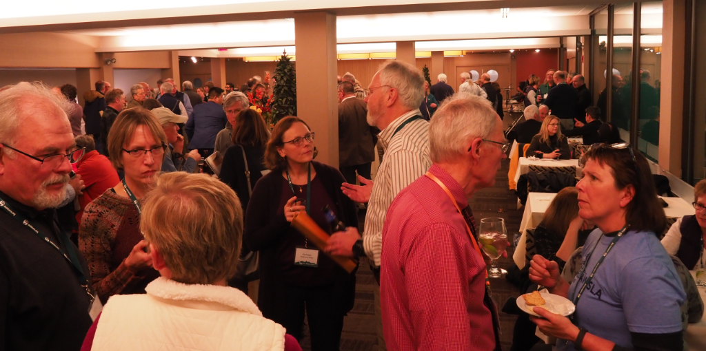
Here are some notes on four presentations made at the 2018 Annual Summit meeting. Lots of choices were available and I wish I had been able to see more. The information quality was excellent and all presentations were enjoyable! Fun for all!
Photo by Doug Chamberlin
Trouble in the Presidentials: What a Mountaineering Accident Can Teach Us About Decision Making and Managing Risk
Ty Gagne captured the attendee’s attention with a detailed account of the tragic death of Kate Matrosova in the Presidential Range in 2015. Based on his book, Where You’ll Find Me: Risk, Decisions, and the Last Climb of Kate Matrosova, Ty provided relevant observations of the trip. He put us all into Kate’s mindset as she planned and set out on her last hike, a solo winter day trip in nasty weather. Ty sprinkled his account of the trip with astute comments and lessons that connected me back to my own past questionable decisions. Very instructive as well as enjoyable! After his talk several audience members recommended the book highly – even for those of us who just heard the talk.
Backcountry Photography
Ryan Smith, Managing Editor of AMC Outdoors, held our interest while he described how he plans for and achieves the great photos seen in our magazine. He had stories to tell and some “during the making of” photos to share of his team journeying to high places to get just the right shot. In addition to the extensive planning for photo shoots I was surprised to learn he packs a compact snapshot camera everywhere he goes so he can grab those unexpected shots that are so much fun. Ryan highly recommended The Photographer’s Ephemeris and Sun Seeker app, a smart phone app that plots the sun and moon tracks across the sky. The is great for planning when you need to be at a certain spot for sunrise or sunset and exactly where the sun will be during those events. It will predict those positions for future dates so you can answer questions such as “When will I need to arrive to get this shot at sunrise next month when I can return to this spot?”
Adding Smart Phone Apps to your Hiking Tool Kit
Beth Zimmer shared several smart phone apps that she uses to enhance her hiking experiences. She setup her phone to display on the screen for us and walked us through using these apps. Chief among them was PeakFinder which can identify just about any peak you see in the distance. It will even superimpose the name of the location onto the scene your phone’s camera is seeing and it will work offline. Fascinating stuff! Also recommended is Maplets for access to over 12,000 maps that can be used offline. And if you want even more maps, look at CalTopo.com and the Avenza Maps app. Also mentioned was REI’s Hiking Project. All good stuff to check out!
Weather by the Seat of Your Pants
John Huth took us for a whirlwind tour of weather signs you should look for and how to interpret them. His enthusiasm and knowledge of meteorology was evident as he bounced between in depth descriptions of weather phenomena and practical tips to predict what’s coming. If anyone did not come away having learned something new they just were not paying attention!